|
|
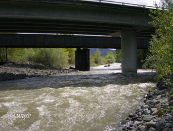
Driving east on Highway 36, Yager Creek is located
between Wolverton Gulch and Wilson Creek monitoring sites but
is actually much closer to Wilson Creek. Yager Creek is a direct
tributary to the main stem Van Duzen River, merging with the main
stem in the lower alluvial plain just a bit upstream from where
the Van Duzen merges with the Eel River. The monitoring site is
located very near the Yager Creek bridge on Highway 36 and just
before the town of Carlotta when driving east. The site is situated
40° 32.262' North and 124° 03.765' West, and above it
is a huge catchment area with approximately 307 miles of stream
network. Elevations in Yager Creek range from 82 feet at its mouth
to over 4,125 feet in the upper reaches, and the monitoring site
is approximately 115 feet in elevation. The watershed is almost
completely in private ownership with most of the timber holdings
and timber harvests by Humboldt Redwood Company (formerly PALCO).
Vegetation is predominantly Mixed and Evergreen (Redwood) Forest
in the Lawrence Creek sub basin to the west, with abundant grazing
and grasslands in the upper eastern elevations of the Yager Creek
sub basin (see map of Yager Creek Catchment Area). The catchment
area of a monitoring site is important when considering upslope
factors that affect water quality in the stream. This area represents
the true watershed that lies above the point where water from
the stream is sampled, and from which all rainfall and sediment
are channeled into the stream down to the point where water is
withdrawn for turbidity and suspended sediment analysis.
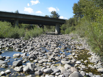
Stream discharge is directly proportional to the
size of the catchment area - the greater the area, the more water
is carried by the stream during storm events. Yager Creek is the
largest of the 11 catchment areas within the boundary of the project
area (lower basin), and the stream drains an area of approximately
347.4 square kilometers which is equivalent to 134.2 square miles.
During the first year of sampling (HY07) volunteers recorded a
maximum discharge of 7,426 cubic feet per second (CFS) and an
average discharge of 2,023 CFS, a maximum turbidity of 1,392 Nephlometric
Units (NTU) and an average turbidity of 149 NTU. In HY08, there
was a maximum discharge of 15,990 CFS and an average discharge
of 2,147 CFS, a maximum turbidity of 2,884 NTU and an average
turbidity of 192 NTU over the winter sampling season. Over the
two seasons combined (HY07-HY08), maximum discharge occurred in
HY08 at 15,990 CFS with an average of 2,085 CFS, maximum turbidity
was also in HY08 at 2,884 NTU with an average of 171 NTU. This
translates to an average of 883 tons of suspended sediment per
square mile per year.
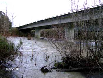
Yager Creek runs year round and is therefore referred
to as a perennial stream (as opposed to an ephemeral stream, which
runs dry in the summer). Maximum weekly average temperature (MWAT)
in the summer of 2007 was 20.68 C, and in 2008 it was 19.87 C.
Overall, temperatures were extremely high compared to all of the
other tributaries sampled within the lower basin project area.
Yager Creek has a road density of about 5.7 miles of roads per
square mile of watershed. As with all of the catchment areas within
the lower basin, this density of road networks receives a rating
of extremely high. In the 17-year period from 1991 through 2007,
the proportion of the area harvested for timber equaled 26.8%,
with clear cutting accounting for 6.3% of the total watershed
area. A large portion of the Yager Creek catchment area (in the
eastern higher elevations) is non-forest grassland and grazing
land, which therefore makes it difficult to quantify the impact
of timber harvest in the western part of the region, which is
primarily coniferous (Redwood) forest within the Lawrence Creek
sub basin.
|